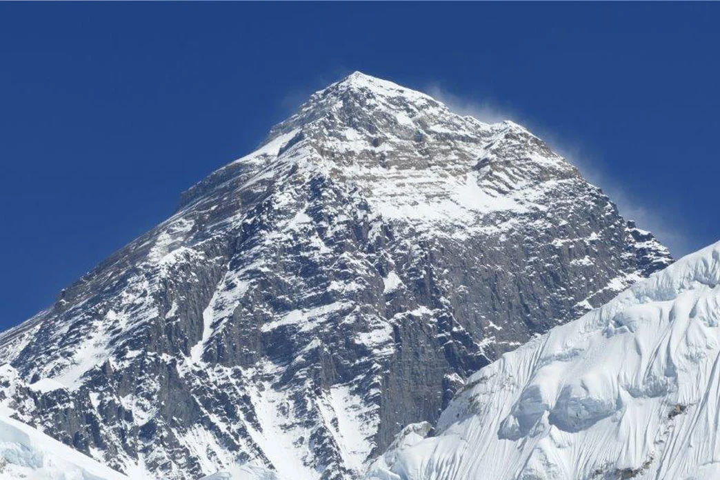
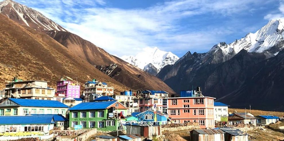
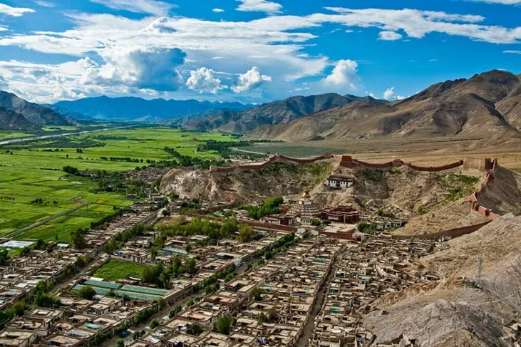
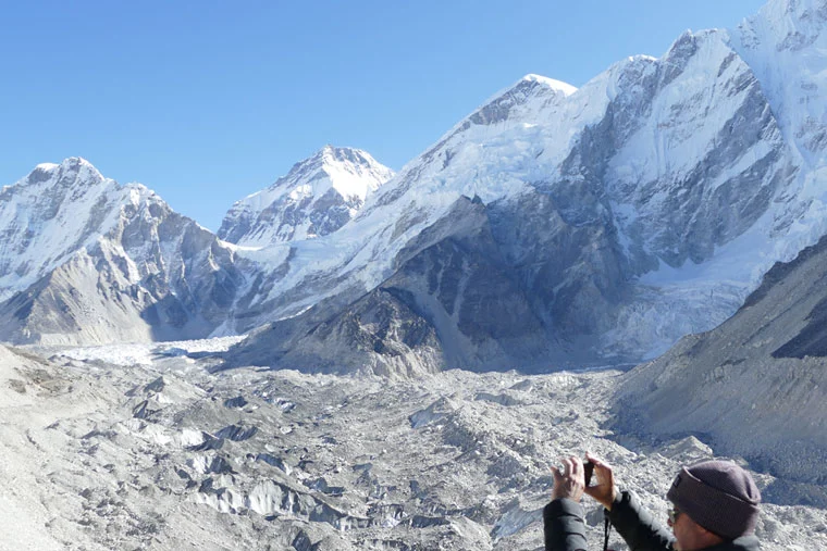
Mount Everest, known in Nepali as Sagarmatha and in Tibetan as Chomolungma . It is Earth’s highest mountain above sea level. The international border between Nepal and China (Tibet Autonomous Region) runs across its summit point. It lies in Solukhumbu distirct of Eastern Region, province 1.
Upon a recommendation by Andrew Waugh, the British Surveyor General of India, Everest was given its official English name by the Royal Geographical Society. There were several different local names; Waugh chose to name the mountain after his predecessor in the post, Sir George Everest, despite George Everest’s objections.
Mount Everest, the highest peak attracts many climbers. Some of them highly experienced mountaineers. There are two main climbing routes, one approaching the summit from the southeast in Nepal (known as the “standard route”) and the other from the north in Tibet, china. When climber tires to ignore the substantial technical climbing precaution, challenges appear on the standard route. Everest presents dangers such as altitude sickness, weather, and wind, as well as significant hazards from avalanches and the Khumbu Icefall.
The climate of Mount Everest is naturally extreme. In January, the coldest month, the summit temperature averages about -36° C (about -33° F) and can drop as low as -60° C (-76° F). In July, the warmest month, the average summit temperature is -19° C (-2° F). In winter and spring the prevailing westerly wind blows against the peak and around the summit. When the wind reaches about 80 km/h (about 50 mph), the flag cloud is at a right angle to the peak. When the wind is weaker, the cloud tilts up; when it is stronger, the flag tilts down.
From June through September the mountain is in the grip of the Indian monsoon, during which wind and precipitation blow in from the Indian Ocean. Masses of clouds and violent snowstorms are common during this time. From November to February, in the dead of winter, the global southwest-flowing jet stream moves in from the north, beating the summit with winds of hurricane force that may reach more than 285 km/h (177 mph). Even during the pre- and post-monsoon climbing seasons, strong winds may arise suddenly. When such storms develop, sand and small stones carried aloft, as well as beating snow and ice, pose problems for climbers.
Precipitation falls mostly during the monsoon season, while winter storms between December and March account for the rest. Unexpected storms, however, can drop up to 3 m (10 ft) of snow on unsuspecting climbers and mountain hikers. Mount Everest Sources
The first recorded efforts to reach Everest’s summit were made by British mountaineers. As Nepal did not allow foreigners into the country during the Rana Regime, the British made several attempts on the north ridge route from the Tibetan side. After the first reconnaissance expedition was made by the British and reached 7,000 m (22,970 ft). Then the expedition pushed the north ridge route up to 8,320 m (27,300 ft), marking the first time a human had climbed above 8,000 m (26,247 ft). While descending from the North Col, seven porters were killed in an avalanche. The expedition made by: George Mallory and Andrew Irvine resulted in one of the greatest mysteries on Everest. Their attempt to this day made a final summit attempt on 8 June but never returned. This turned out to be the sparking debate as to whether or not they were the first to reach the top.
They simply disappeared in the clouds, never to be seen again, until Mallory’s body was found in 1999 at 8,155 m (26,755 ft) on the north face. Later Tenzing Norgay and Edmund Hillary made the first official ascent of Everest in 1953, using the southeast ridge route. Norgay had reached 8,595 m (28,199 ft) the previous year as a member of the 1952 Swiss expedition.
Their customs and attire are distinct and this trek is ideal for observing the diversity among the people and their customs. Hindu and Buddhist have harmony in religious tolerance. Hinduism dominates the lower parts while as one climbs further up, Tibetan Buddhism predominates. In early September, you are likely to be in time for one of Nepal’s unique festivals, the annual horse race known as Yartung. This is a week of some serious horse racing, Tibetan style, and some equally merrymaking. Most of the route along the Jomsom trek is connected as part of the Annapurna circuit and Annapurna foothill treks. The usual trek starts from Naya Pul on the Pokhara to Baglung road and from there, via Ghorepani and Tatopani, into the gorge of the Kali Gandaki.
The layout of the villages and the design of the houses are unique. The houses are designed to protect the inhabitants from the strong winds that blow up the valley everyday from the late morning onwards. These winds are caused by differences in atmospheric pressure between the Tibetan plateau and the lower reaches of the valley. The best example of the unique architecture of this region is found in the village of Marpha which is a two-hour walk down from Jomsom.
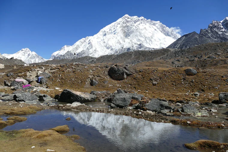
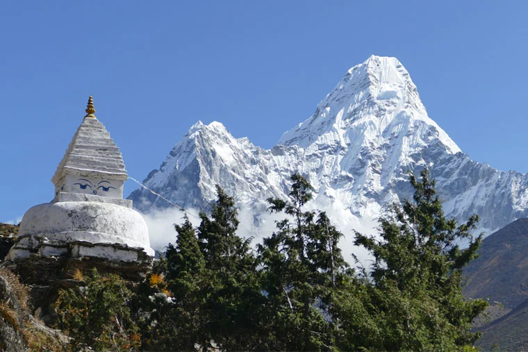
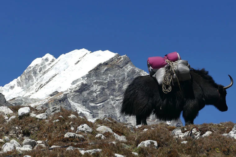
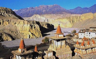
Jomsom has Tibetan influenced village filled with prayer wheels, chortens and a Buddhist monastery. The geographical scenery of the area ranges from forests of bright Rhododendrons to rocky cliffs and desert. The culture along the track is a rich Combination of Hindu and Tibetan Buddhism. Jomsom is the main commerce and administrative center of Nepal’s Mustang region. Mustang is also famous for its apple orchards, sacred lakes, and Muktinath, one of Nepal’s most revered religious pilgrimage sites.
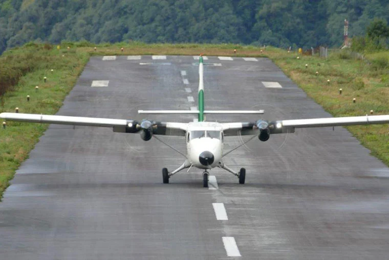
Visiting Mustang is a highly unique and memorable experience. Another boon to the region is that the window for traveling remains open longer than elsewhere in Nepal due to its location in the Himalayan rain shadow area, where the arid climate is not affected by the yearly monsoons. Though the winter months in Mustang are excessively cold and harsh, the conditions throughout the remaining months provide for pleasant traveling conditions. Wind in the mountains also causes frequent flight cancellations or delays, a wise thing to consider when flying in and out of Jomsom.
Mount Everest, known in Nepali as Sagarmatha and in Tibetan as Chomolungma . It is Earth’s highest mountain above sea level. The international border between Nepal and China (Tibet Autonomous Region) runs across its summit point. It lies in Solukhumbu distirct of Eastern Region, province 1.
Upon a recommendation by Andrew Waugh, the British Surveyor General of India, Everest was given its official English name by the Royal Geographical Society. There were several different local names; Waugh chose to name the mountain after his predecessor in the post, Sir George Everest, despite George Everest’s objections.
Cost Includes
- Pick up and drop from Airport to Hotel and Hotel to Airport.
- A full day sightseeing in religious and historic places of Kathmandu with our experienced
tour Guide. - Domestic flight if needed.
- Three nights’ tourist standard hotel in Kathmandu with breakfast on twin sharing bedroom.
- Full board meals (3 meals a day – breakfast, lunch, and dinner) during the trek.
- Accommodation in twin sharing basis during trek in Tea House, Lodges or Guesthouse.
- Trekking Permit for cases like National Park entry fee.
- Trekker’s Information Management System (TIMS) card.
- One trekking guide his food, accommodation, salary, insurance, equipment during your
travel period. - One porter his food, accommodation, salary, insurance, equipment during your travel
period. - Medical supplies like First Aid Kit.
- Welcome and farewell dinner.
- Our service charges all kinds of government taxes
Cost Excludes
- Lunch, dinner and other personal expenses during your stay in Kathmandu.
- Personal trekking/other gears.
- Bar beverages, Mineral Water.
- Tips to Guide and porter.
- Any extra sightseeing tours or program than mentioned in the itinerary.
- Personal travel or medical insurance.
